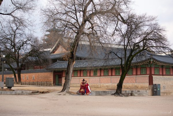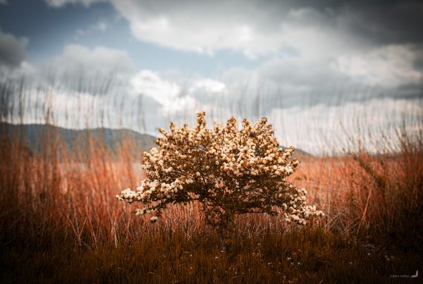

Indonesia is made up of approximately 13,558 islands larger than 0.001 km², making it one of the most archipelagic countries in the world. Flores is one of the larger islands, situated further east in the country. Just a short distance away is Komodo Island, home to the famous Komodo dragons.
Labuan Bajo
The laid-back fishing town of Labuan Bajo serves as the gateway to exploring the surrounding region. It is also known for its own impressive landscapes, offering beautiful views and a relaxed atmosphere that make it a great starting point for any future exploration.


Various views from Labuan Bajo and surroundings.
Komodo
If you can brave short hikes up the viewpoints in the scorching heat and humidity, the reward is quite something else. The green hills, jagged cliffs, and turquoise waters make you feel like you’ve stepped into a prehistoric world.
It’s also the home of the legendary Komodo dragon, the planet’s largest lizard, which is found only on a few islands: Komodo, Rinca, Flores, Gili Dasami, and Gili Motang.

Pulau Padar in Komodo.


One Komodo drago rests in Komodo National Park (left) and another casually patrols the beach (right) nearby.

The hills of Rinca Island, located closely to Komodo Island.

A local boat passes by Rinca Island.
Padar Island, in between Rinca and Komodo Island, from above.

A woman walks over a sandbank in the Pulau Karangan sea, near Komodo Island.
Rural Flores
Another worthwhile destination is the ancient Wearebo Village, where locals have maintained traditional ways of life for many generations. However, reaching the village requires a 6.5-hour motorbike ride from Labuan Bajo to Denge, taking you through a pretty scenic countryside. From Denge, it’s another 2-3 hours of hiking on foot to reach the village.

Rice fields close to the coast from above, between Labuan Bajo and Denge.
Flying over the rice paddies of the south coast in Flores.

Sonneratia alba tree in the Savu Sea in front of Mules Island.
Waerebo Village
Waerebo is a small traditional village located in a remote area in the south of Flores that is only accessible by a 2-3 hour hike. It is a UNESCO heritage site and its residents still maintain a lifestyle in accordance with the culture and traditions handed down by their ancestors.
The seven traditional houses, or Mbaru Niang, contain five levels, each for a specific purpose.

The village’s food and supplies are still sourced locally, reflecting its self-sufficient way of life. Surrounded by seven mountain peaks, Waerebo is often enveloped in a blanket of fog.


Waerabo at night (left) and in the morning (right) where villages sell local crafts.
The houses in Waerebo are arranged around a circular platform called a compang, made of rammed earth and stone, which is used for worship and ceremonies.

A village elder in front of the main house, Niang Gendang, which is inhabited by 8 families.

The village elder in front of the Niang Gendang.
Kenda Rice Fields
The Kenda rice fields are located just a little north of the city of Ruteng.
Flying over the Kenda Rice Fields at sunrise.


The Kenda Rice Fields from above.

A local amongst the rice terraces in Kenda.

A tiny shop along the main road in Kenda.

A tree is illuminated by lights at a cemetery in Kenda.
Cancar Rice Terraces
Near the city of Redjang, the rice terraces at Cancar are created in the shape of a spiderweb.
-
Cancar Rice Terraces
Indonesia

Flying over a local passing the Cancar Rice Terraces.
Cuncar Pilas
The waterfalls at Cuncar Pilas were recently discovered and are one of the few places where you can take a dip right up to the edge.
Cuncar Pilas waterfall from above.
Ngalor Kalo
Rice fields in the fertile region of Ngalor Kalo.


Rice fields in Ngalor Kalo.